
August 17, 2026
Addis Ababa, July 30, 2018 (K.M.L.M.) The institutions discussed the sharing of spatial information, security classification and institutional frameworks that strengthen cooperation between institutions.
The Minister of Urban and Infrastructure Development, Ms. Chaltu Sani, said in the discussion that if accurate land information can be collected and recorded properly in all cities of the country, cities can provide transparent, fast and efficient services to their citizens, solve problems of good governance, and accelerate their development by collecting better income.
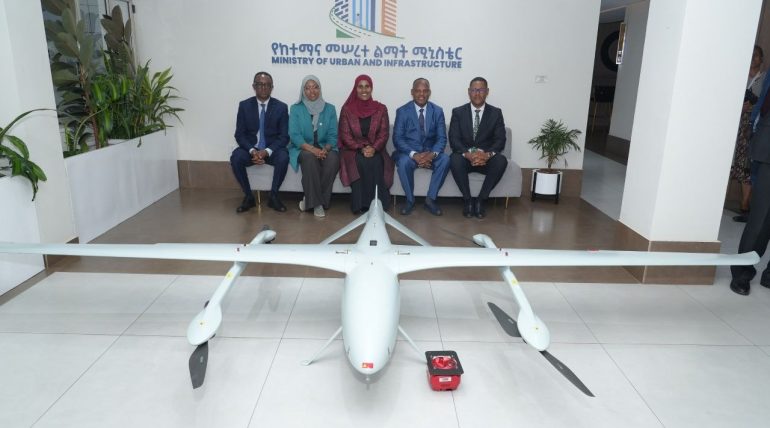
The Minister added that the use of drone technology is a viable solution for policy preparation, managing land, which is the main asset of the city, for decision-making, implementing digitalization, corridor development, and accelerating and monitoring general infrastructure development works, so we are at a crucial stage in working together with the institution.
On the other hand, Information Network Security Service (INSA) Director General Ms. Taghist Hamid said that the use of drone technology to transform the cadastral system from 2D to 3D will not only prevent planning violations in cities, but also improve land use, but will also be beneficial for national development, access to energy, economy, knowledge transfer, and smart cities.
The drone technology 3D model project, which will capture urban land information in an organized and transparent manner and protect limited land resources from wasteful use, was presented at the forum with expert advice on how to work together with stakeholders to implement national regulatory standards.
Discussions were held on how to expand the 2D/3D mapping model, which was launched primarily in Adama City, to other cities in our country. The institutions agreed to work together on these and similar issues in the future.
Send feedback
